Addressing the river level volatility risk
Rivers are vital to global trade and to many industries, such as shipping and ports, food & beverage suppliers, agribusinesses, as well as chemical and steel companies. With 90% of products moving around the world on water, sectors inevitably rely heavily on rivers, and changing river water levels can cause severe business interruptions, financial losses, and disruptions to transport and supply chains.
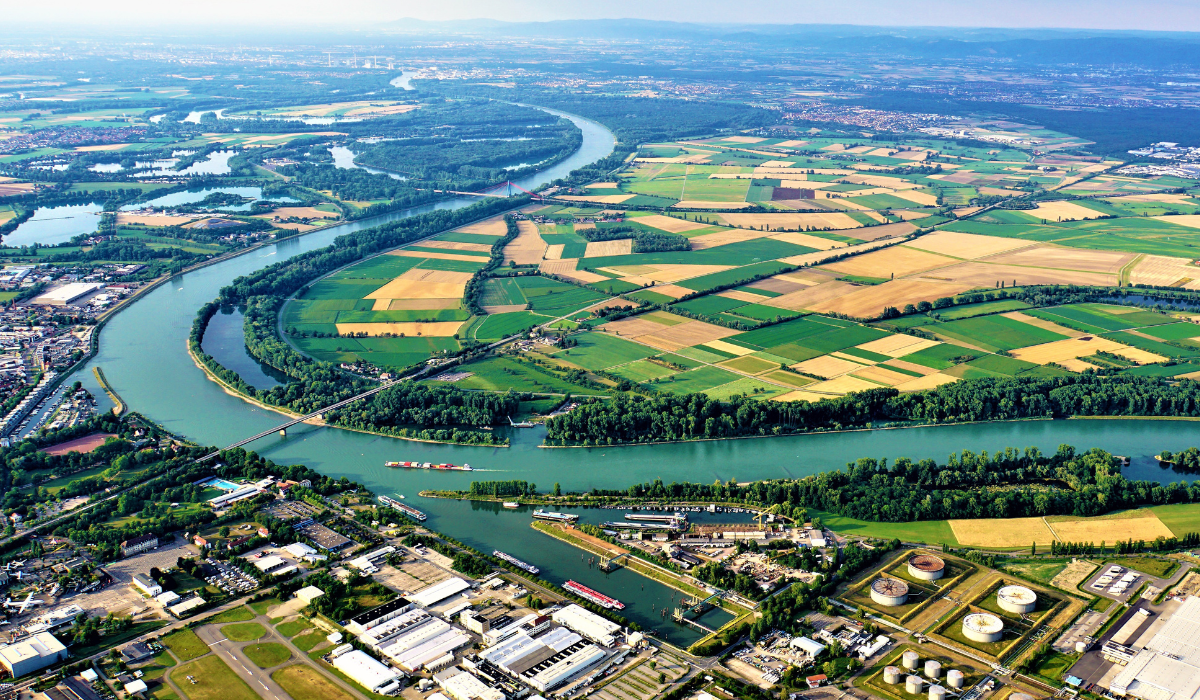
The Summer 2023 drought across Europe demonstrated how sensitive main rivers are to lower water levels. Rivers like the Rhine suffered from extreme water scarcity after a prolonged lack of rain, causing transport disruption to cargo ships, vessel brokers and commodity traders. In most cases like this, traditional insurance policies do not cover the resulting critical business interruptions and financial losses.
This is where parametric insurance steps in, leveraging official gauge measurements to protect companies with a straight-forward, data-based cover tailored to their river exposure. Descartes’ parametric insurance is suitable for all river-dependent activities, particularly commodity traders, heavy industrial clients, agribusinesses or chemical plants.

Assess
We assess and evaluate the client’s rivel level volatility risk, leveraging river gauge and third-party sensor data.
Customize
Design a customized cover, fit to the client's needs, in which payout structures are index according to the river water level.
Monitor
Upon policy inception, we monitor the river levels river levels to assess whether a qualifying event has occurred.
Payout
Insured client receives a payout within days of the concluded coverage period, boosting their liquidity, protecting their margin, and expediting a return to normal operations.
Our case studies are all over the world
Utilizing Machine Learning and real-time monitoring from satellite imagery & IoT, our state-of-the-art technology helps businesses bounce back faster against climate, cyber and other emerging risks.
Our parametric approach to water level volatility risk
Our parametric river level product is designed to cover river levels impacting river transportation and industrial operationality. We structure the solution to indemnify when river levels reach client-specific thresholds, as measured and communicated by river gauges or third-party sensor data.
Descartes’ bespoke and customizable covers provide an alternative solution to all river-dependent industries and deliver transparent terms. Indemnities are registered during the risk period for each day river water levels exceed or drop below those pre-defined river level thresholds.
Tailored to the client’s loss history, initial layers are designed to indemnify for volatile water levels that are likely to disrupt and increase costs of shipping transportation, with higher indemnities following if water levels and flow rates reach extreme thresholds, that ultimately have the potential to result in operation shutdowns of machinery or halt shipping altogether.
Interested in an offer?
